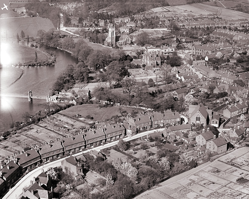
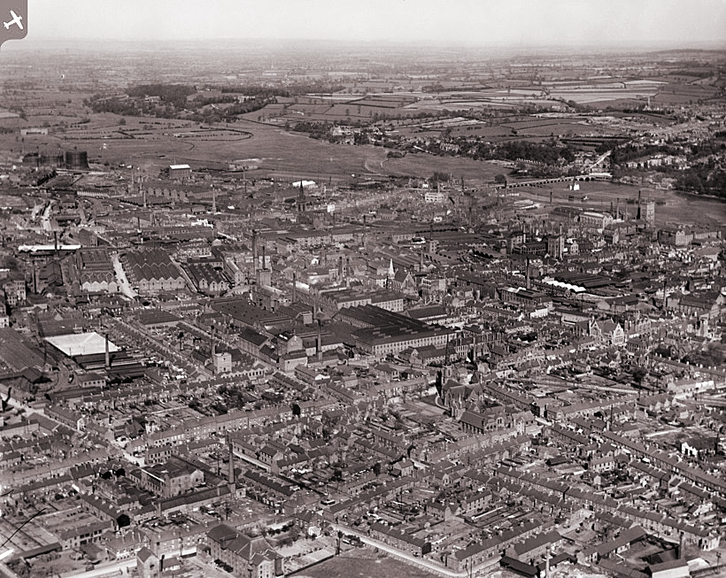
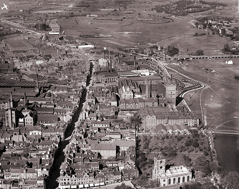
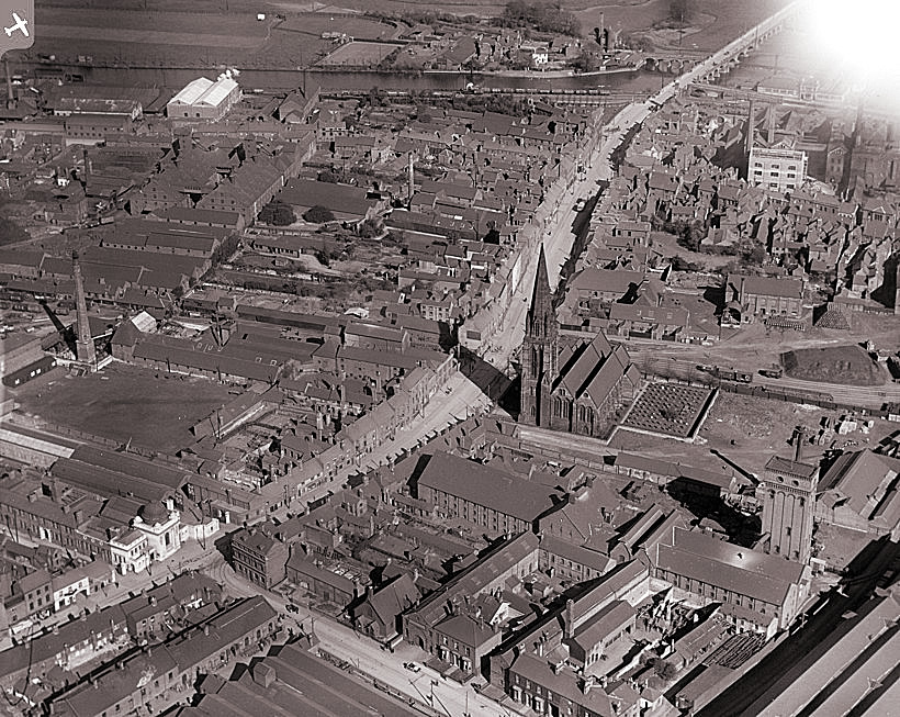
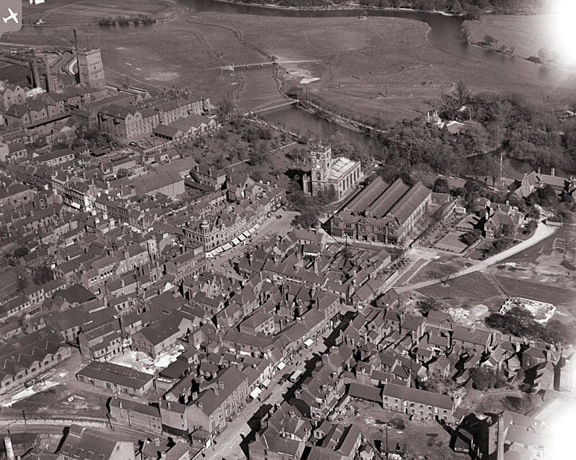
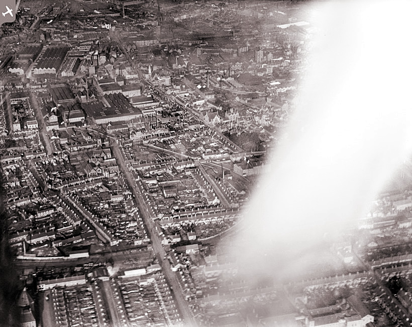
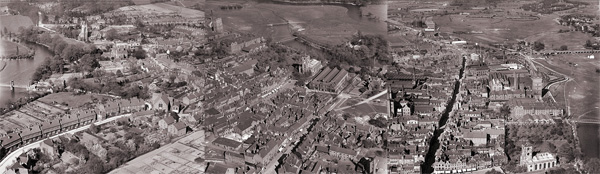
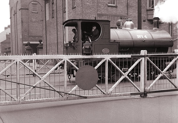
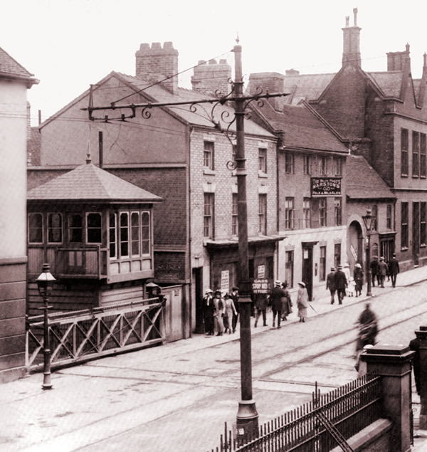
A reminder that much of the out-lying community of Burton made good use of the train.
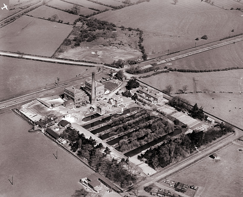
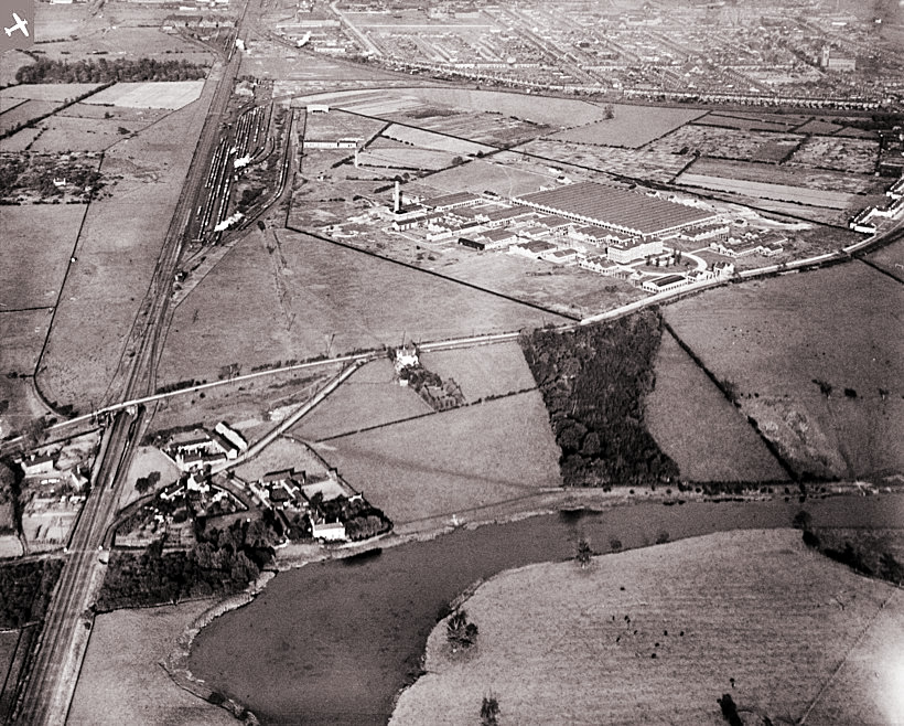
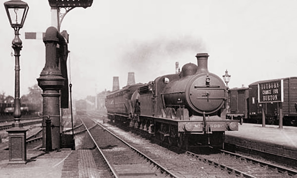
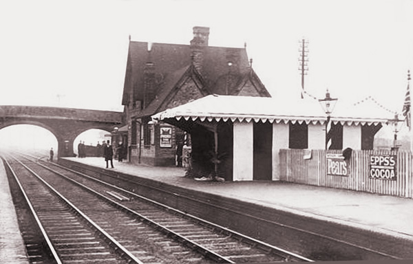
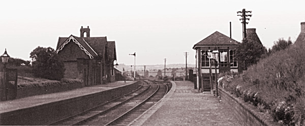
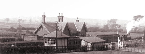
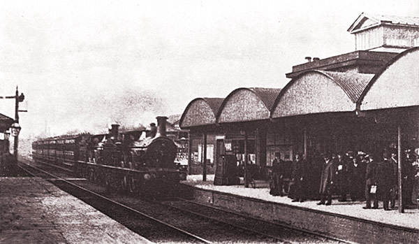
Tutbury Station
Tutbury Station, probably the most famous of Burton’s out-lying stations because of the revered Tutbury Jinny.
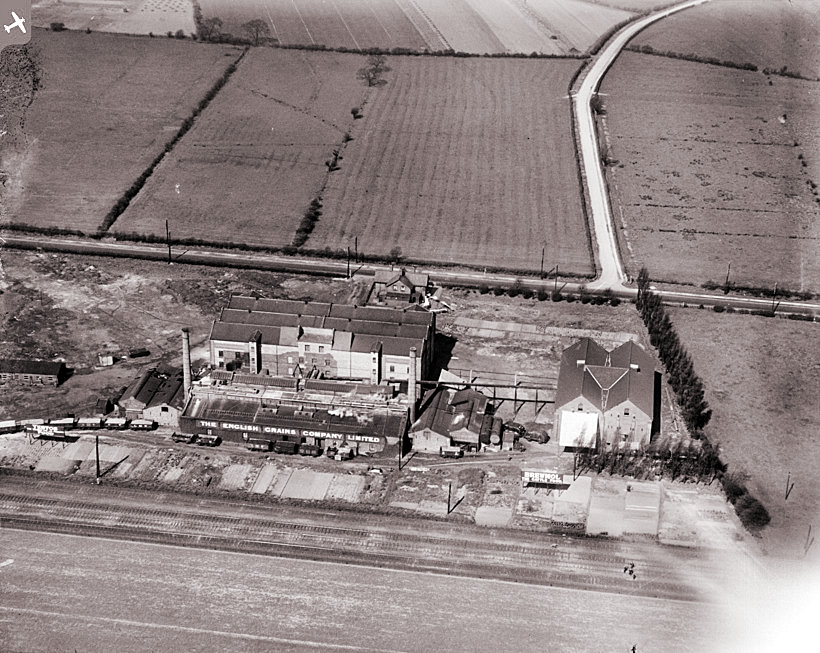
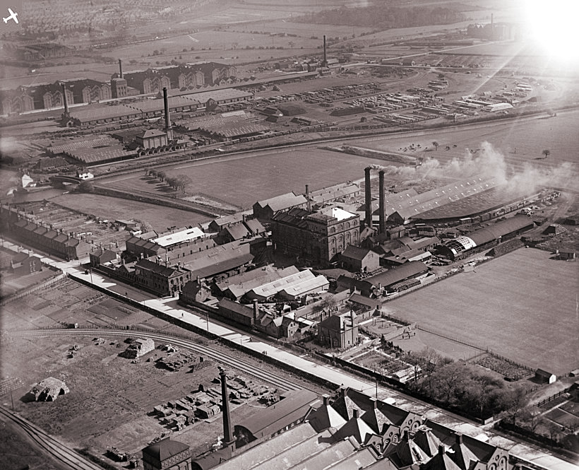
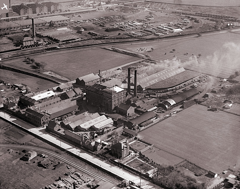
Tutbury Station was built on the Burton upon trent to Uttoxeter branch line and was opened in 1849. The smoking chimney was Nestle on the same site as the existing plant. On the right is a goods shed behind which was a grain warehouse and cattle pen.
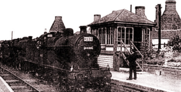
In its heydey, the ‘Tutbury Jinnie’ provided eight trains each way on weekdays and two on Sundays. However, as the motor car became more accessible, a survey in 1960 revealed that the service was only carrying an average of twelve passengers and running at a loss of around £7000, which was quite a significant sum at the time. The service managed to survive until it was withdrawn in 1960 when a ceremonious packed last train left Tutbury at 8:12pm on 11th June.
The station was fully closed in 1966 but was re-opened by popular request in 1990 and remains in use today.
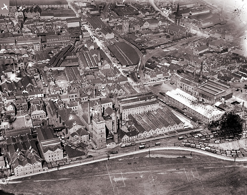
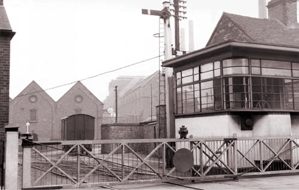
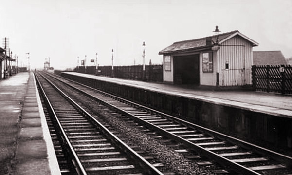
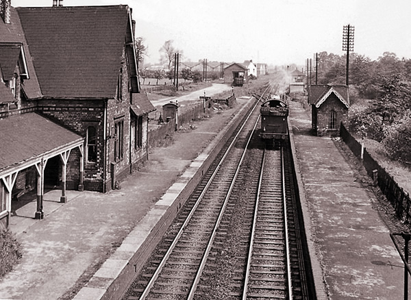
Willington Station
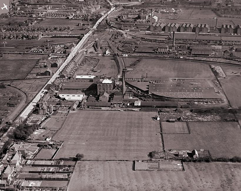
The station at Willington, was built on the Derby line which opened in 1859, has also managed to survive and a station on the same site remains in use today.
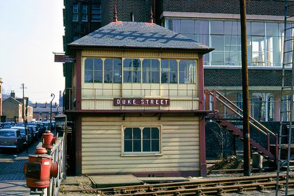
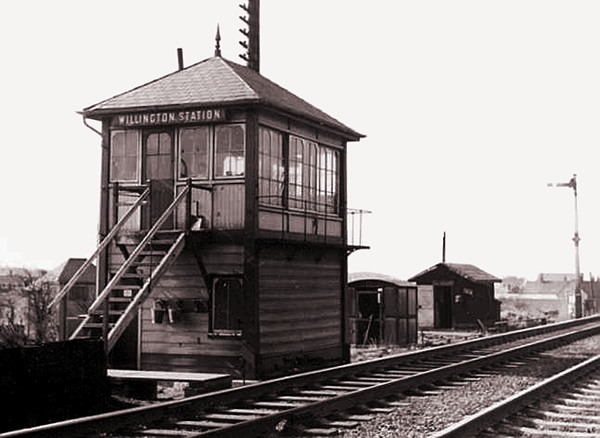
Willington signal box has of course, long gone. The main Derby line from Burton still goes over Willington bridge but just before Willington on the Derby side, a branch survives which runs over the modern Willington crossing on its way to Tutbury and Uttoxeter.
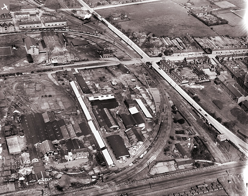
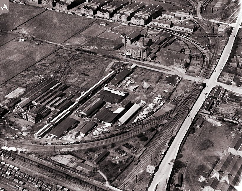
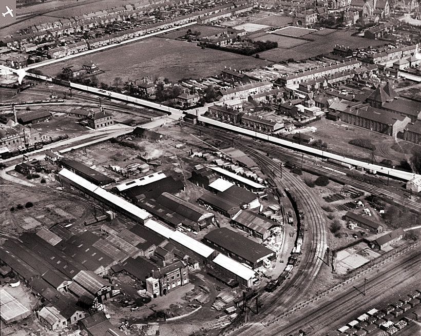
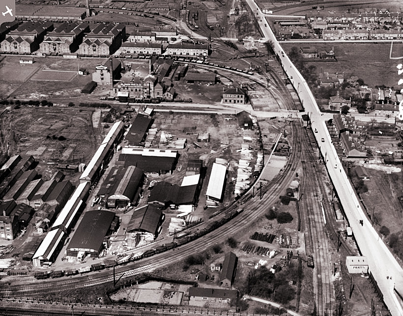
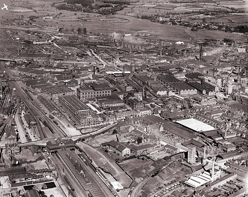
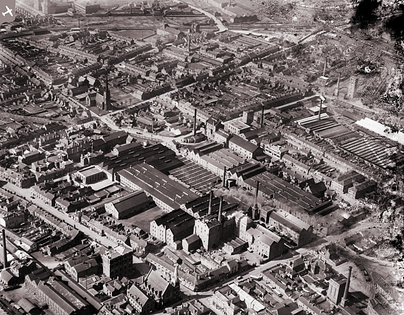
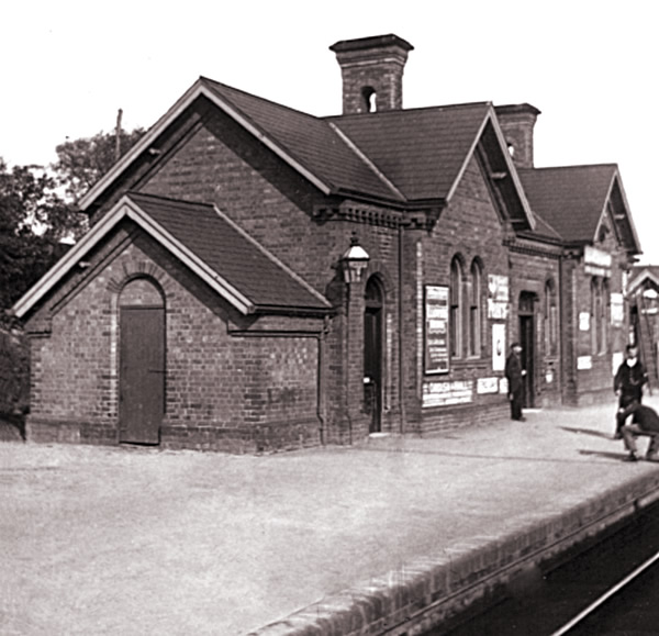
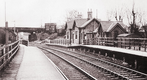
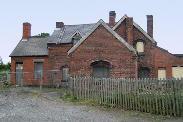
Barton and Walton Station
The three following photos show the Barton and Walton Station, opened in 1846 on the Derby to Birmingham line.
It was situated between the villages of Barton under Needwood and Walton-on-Trent. The station was closed in 1958 and is now the site of a railway depot.
Gresley Station
Gresley Station with a name that will always be associated with railways. It was built a Castle Gresely on the Leicester line, which opened in 1849, but there is little evidence left of it today.
The below view towards the end of its life shows its proximity to the bridge that forms part of the A444.
Moira Station
After Gresley on the way to Leicester came Moira (or Overseal and Moira) Station.
The above photo with both platforms empty suggests that a train has recently departed.
The above photo shows the abandoned station, opened in 1850 – closed in 1964. It was eventually sold for convertion to a private residence.
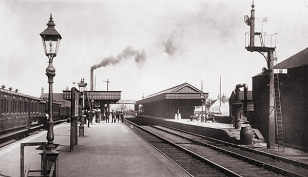
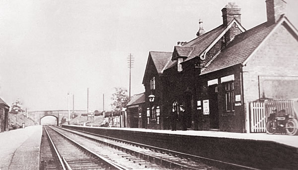
Swadlincote Station
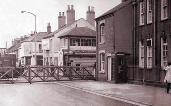
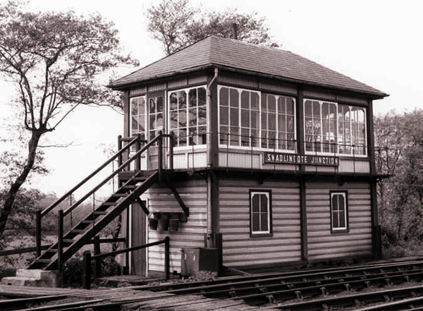
There was a loop off the Burton to Ashby line that some trains used going through both stations as an alternative to going directly to Burton via Gresley. The below photo shows the Swadlincote Junction signal box.
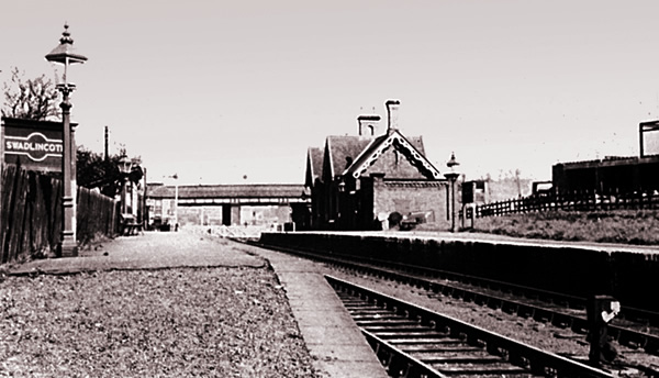
You could be forgiven for thinking that the above and below photos were different angle shots of the same station. In fact, the above photo is Swadlincote Station and below is Woodville Station. Your eyes are not deceiving you however, the two station buildings are identical mirror images of one another. They were both built by the same builder for exactly the same price.
I wonder if anyone ever woke up with a start and jumped off at the wrong station.
Woodville Station
The pottery adds to the confusion because many would deduce that it was Rowley’s Pottery close to Swadlincote Station but in fact, Woodville had its own Mansfield’s pottery.
The road in Woodville is still called Station Road and on Google earth, it is still fairly easy to pick out the loop where the line used to run going back to Swadlincote although it is very difficult to image trains running around there now.
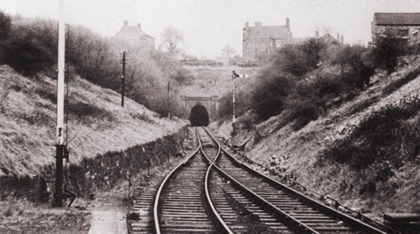
The Woodville Tunnel, seen above, was between Swadlincote and Woodville and went under the main Ashby Road (A511). Although it is easy to pick out the section now, again, it is almost impossible to image steam trains running under the road.
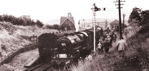
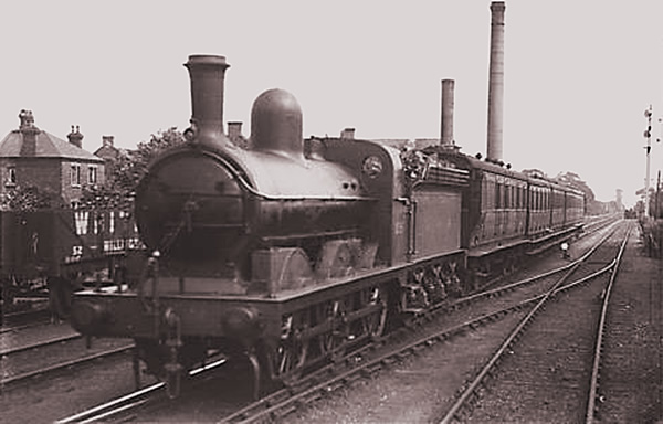
The above shows Woodville station at its busiest. Two trains heading in opposite directions co-incide with both platforms. A regular using his own shortcut has timed his run to perfection to gain one of the few remaining places.
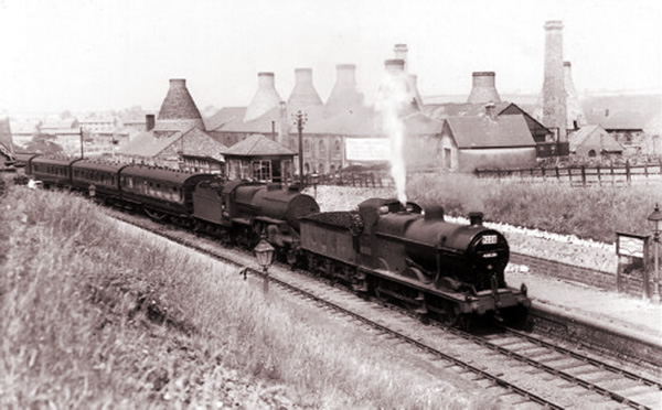
The above wider view gives a better idea of the size and position of the pottery. Because of the gradient between Swadlincote and Woodville, and hence the above shown tunnel, steam engines were often paired together.
Finally, a wide view from the other side taken patiently as a train builds up steam to depart.
The final photo of Woodville Station is very grainy but is, I think, worth showing. Once again, you can just about make out that there are two steam engines.
Ashby Station
Ashby-de-la-Zouch railway station was too nice a building to fall into disuse. At the time of being built, Ashby was a well-to-do spa town with station to reflect its status.
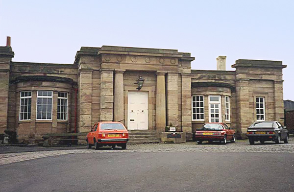
The Midland Railway opened the station on 1st August 1849 as part of its new line between Swannington and Burton-on-Trent. The station was built partly on the remains of the horse-drawn Ticknall Tramway, which previously connected Ticknall lime quarries with the Ashby Canal.
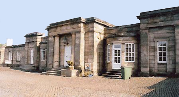
In 1874 the Midland extended its Derby to Melbourne line to Ashby-de-la-Zouch, partly using the route of the former Ticknall Tramway. The junction with the Leicester to Burton-on-Trent line was just west of Ashby station, so for a time the branch was served by a separate station a short distance from the 1849 building.
Eventually, the station was consolidated with the main platform being the Leicester line. Apologies for the quality of the above image but it does show that it was bustling in its heyday. The stone block above the platform shelter is the rear of the existing building. I am not sure what the tower on top is.
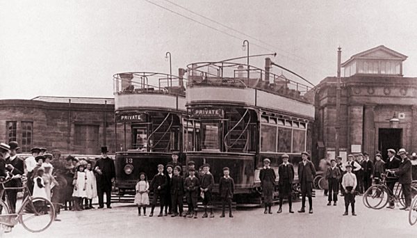
Ashby station forecourt was also a terminus for the 3 ft 6 in gauge Burton and Ashby Light Railway, the tramway between Ashby and Burton upon Trent, built by the MR and closed on 19th February 1927. Tram lines for the Burton and Ashby Light Railway are still visible in the forecourt.
The line became part of the London, Midland and Scottish Railway under the Grouping of 1923. In the nationalisation of transport in Britain in 1948 the line passed to the London Midland Region of British Railways. British Railways withdrew passenger services and closed Ashby station on 7 September 1964.
The building is now Grade II listed.
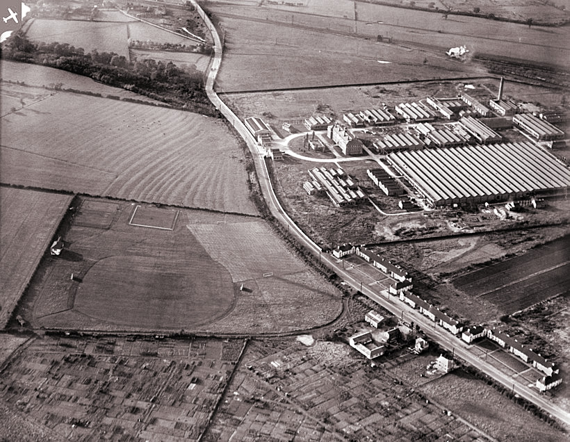
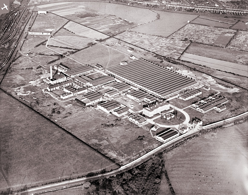
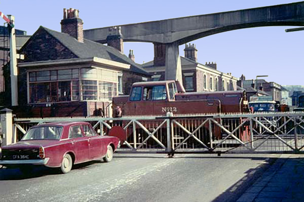
Drakelow Power Station
I receive many emails thanking me for memories that were long before my time. But the final photo is for my own sheer indulgence. It shows a coal train joining the Leicester Line at the Drakelow junction.
My Nan and Grandad used to live in an upstairs flat on Rosliston Road close to the Drawelow Bridge. My Grandad worked at the Power Station and he explained to me why they were always going one way full of coal and the other empty. From the window, it was possible to see steam rising in time to race to the bridge and watch the train go under and enjoy being surrounded in steam and taking in the smell.
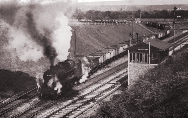
I could almost have taken this photo myself from the days that waving to the driver might result in a wave back. I had never been on a train and this is my sole recollection of trains from the age of steam.
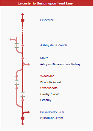
Map
The below map shows the relationship between the local Leicester Line stations. The direct route was through Moira and Gresley to Burton but some trains took a detour between Burton and Moira, missing out Gresley but taking in Swadlincote and Woodville instead,